7 08, 2013

Czech LPIS by Sitewell

2018-05-06T14:32:41+02:00August 7th, 2013|Featured, Projects|0 Comments

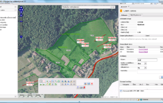
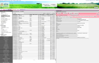
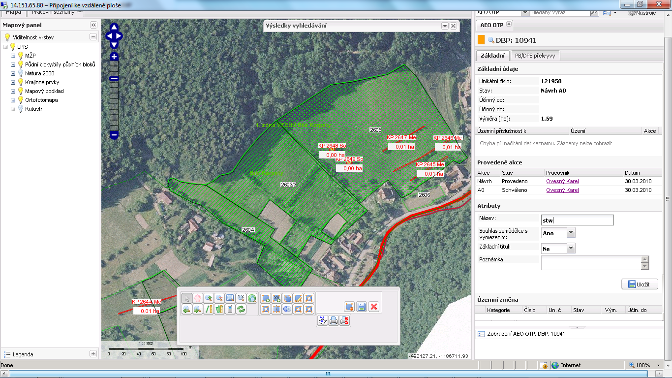
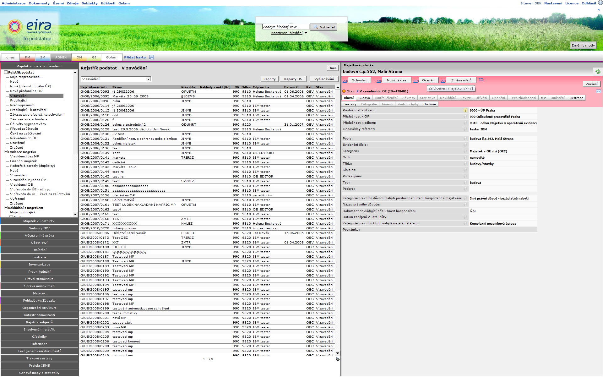
The Czech LPIS project represents a new philosophy in the solution of a geographic information system for agricultural parcel identification. Its basic objective is to provide high quality data about the agricultural land use, allowing for a trouble-free administration and control of agricultural aid applications. Czech LPIS is based on a seamless central database on the Oracle Spatial platform, updated on-line in real time over a virtual secure network. 4D …

17 04, 2013

Sitewell Golam

2018-08-31T14:30:15+02:00April 17th, 2013|Projects|0 Comments

Sitewell Golam represents new process oriented approach to all-in-one assets management with geospatial features and analysis for land assets (parcels/buildings/space units). All processes are securely managed based on organizational structure, roles and rules. All phases of management from purchasing, servicing, sales or all operational tasks etc. are covered seamlessly in one open SaaS portal. Important functionality is dedicated to detailed spatial pasportization of buildings including drilldown of costs and revenues …

Go to Top