
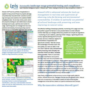
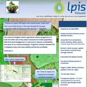
The Czech LPIS project represents a new philosophy in the solution of a geographic information system for agricultural parcel identification. Its basic objective is to provide high quality data about the agricultural land use, allowing for a trouble-free administration and control of agricultural aid applications. Czech LPIS is based on a seamless central database on the Oracle Spatial platform, updated on-line in real time over a virtual secure network. 4D approach of Sitewell Lpis Lpis enables to automatically classify geodata. Czech LPIS is an independent reference register that serves farmers as a quick source of information about the land they use. Based on the information, they can not only complete their aid applications correctly, but also find out which limitations apply to their farming. All update of data is done through web portal and new change applications requests could be done also directly by farmes on farmer’s portal geographically. Whole system is seamlessly integrated through SOA bidirectional interface with agrarian paying agency.
Article in Czech: ČR je významným inovátorem v zemědělské informatice EU
LPIS honors processes and keeps farmer’s blocks genealogy integrity, topology in time, automated 4D classification and data quality healthy.


